
Maison de Barberine museum
Situated in an 18th century house, the Barberine museum is dedicated to showing pastoral life of the Vallorcine people in the valley since the 18th century.
© Jemima Lang
© Jemima Lang
© Jemima Lang
© Jemima Lang
© Jemima Lang
© Jemima Lang
© Jemima Lang
An easy walk that combines waterfalls, rivers and stunning valley views
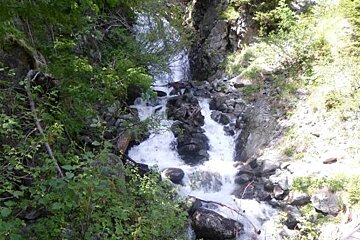
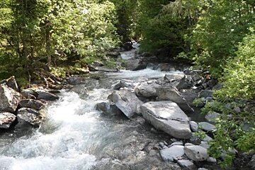
This walk will take you on a complete loop bringing you back to the Vallorcine car park. You can choose to include the refuge de Loriaz as part of your loop or not. This beautiful family-friendly walk is suitable for all levels and has stunning views down towards the Swiss boarder and passes two waterfalls.
Starting from the main car park as you enter Vallorcine close to the basketball and tennis courts, exit the car park to the left towards Le Buet and Chamonix. After less than 20 metres you’ll see a walking route sign that leads up the bank and brings you out onto the main path.
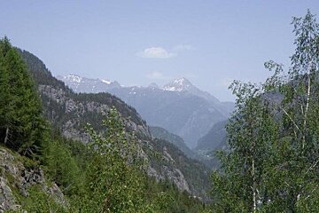
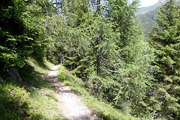
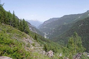
From here follow the path to the right, walking in the direction of Vallorcine and the Swiss boarder again. You’ll cross a few meadows before heading up the mountain at quite a steep gradient. On the way up you’ll be able to see right down to the Swiss border and beyond.
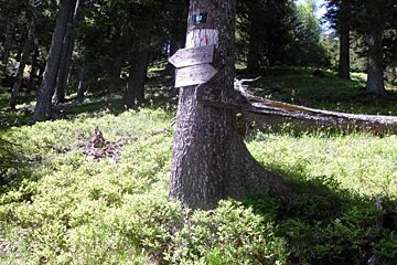
You’ll eventually reach a sign post where you can follow the route back down in a loop to Le Nant, past two waterfalls or continue up to the refuge before heading back down again. At this point the refuge is probably another 30-40 minutes walk.
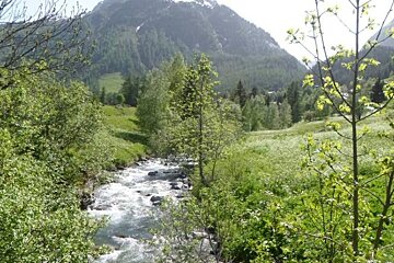
On the route back, once you reach the valley floor the path connecting Le Buet with Vallocine is at the very bottom of the village across from the main road. The path leads along the river and is clearly sign-posted.
IGN3630 map is recommended

Situated in an 18th century house, the Barberine museum is dedicated to showing pastoral life of the Vallorcine people in the valley since the 18th century.
Le Tour is a small, quaint little village at the far end of the Chamonix valley in the 'Domaine de la Balme' area with access to some great hiking and mountain bike trails.
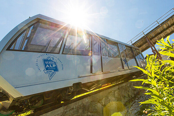
At the edge of the Franco-Swiss border lies the 'VerticAlp' experience, which is made up of a steep funicular, a panoramic train and a smaller funicular taking you up to the Emosson Dam.
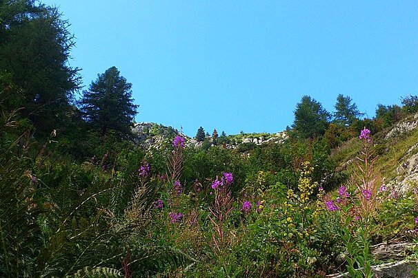
The Aiguilles Rouges Nature Reserve was created in 1974 and is a bio-diverse area of around 16,000 hectares with spectacular views of the Col des Montets. There is an information centre where you can find out about the animals and plants of the area and buy a drink or snack.

The Plan Joran télécabine takes you up to Grands Montets at an altitude of 1,972 metres.

In summer the cable car at Flégère and the Index chairlift operate, taking you up to an altitude of 1,894m and then on to 2,396m at the top of the Index.

Café Comptoir is open winter and summer, this place serves delicious food in a beautiful mountain-side setting.

Nestled just over the Col des Montets in the beautiful surroundings of Vallorcine, this wonderful restaurant serving traditional dishes from the region.

Explore the fantastic natural scenery around Vallorcine, Le Tour and Montroc by going off the beaten track on snowshoes!
Find out all about what is happening in the Chamonix valley and how to make the most of your time here. The latest news, reviews of fun activities, current events and the trendiest restaurants, as well as interviews with leading locals, insider's guides and our top choices for things to do, see and experience in the valley. Plus, during the winter season, our famous snow reports and dump alerts all in the same place.
See allLatest News & ReviewsChamonix hosts a wide range of sporting events throughout the year. The biggest ones include the Mont Blanc Marathon in June and the UTMB trail running race in August. In March, the Unlimited Festival brings ravers to the mountains while Musilac Mont Blanc takes place a month later. At the end of July, the Cosmo Jazz Festival hosts concerts all around the valley.
See allUpcoming Events