Google Earth makes using a GPS fun
Google Earth has released a new edition which skiers, hikers, runners and cyclists are going to love.
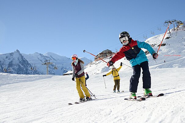
Google Earth has always been a great tool for planning & viewing outdoor activities, whether it be hiking, running, biking, skiing or climbing. With the release of the new edition Google have added the ability to connect a GPS device directly to Google Earth and import your path.
This then gives you the ability to view elevation, speed, and other data as a graph directly in Google Earth. Just connect your GPS device to upload your data which will then bring up a path overlay as well as the elevation and speed graphs. If your GPS device records additional information such as heart rate or cadence, these will also be available to view in the graph. You can also see statistics such as total elevation, maximum slope, and average speed. You can select a portion of your ride and get statistics for just that section so you can track just how fast you were going round the last bend!
There is also an animation button, which lets you relive all those highs and lows of your journey and then save to show it to others.
Get your hands on Google Earth here and start planning your summer hikes, climbs and bike rides!